

At a Glance
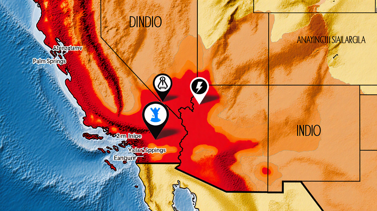
- A 4.9-magnitude quake struck northeast of Indio at 5:56 p.m.
- Four tremors occurred within roughly 5 minutes, with aftershocks between 2.9 and 3.3.
- Residents in Palm Springs, Murrieta, Temecula and northern San Diego County felt the shaking; no injuries or damage were reported.
- Why it matters: The event underscores the region’s seismic activity and the importance of preparedness.
A series of four earthquakes rattled the low desert on Monday, the strongest reaching a magnitude of 4.9. The tremors were felt across several communities, but no injuries or structural damage were reported.
Earthquake Sequence
The U.S. Geological Survey (USGS) logged four quakes in close succession, all within roughly 5 minutes of each other. The first, recorded at 5:56 p.m., struck northeast of Indio at a depth of nearly 2 miles. The remaining three were smaller, with magnitudes ranging from 2.9 to 3.3.
Key Facts
- Four earthquakes recorded
- First quake: 5:56 p.m., magnitude 4.9, depth ~2 miles
- Aftershocks: 2.9-3.3
- Affected areas: Indio, Palm Springs, Murrieta, Temecula, northern San Diego County
- No injuries or structural damage
| Time (p.m.) | Magnitude | Depth (miles) | Location (approx.) |
|---|---|---|---|
| 5:56 | 4.9 | ~2 | Northeast of Indio |
| 5:57 | 3.3 | – | Indio |
| 5:58 | 3.0 | – | Indio |
| 5:59 | 2.9 | – | Indio |
Impact and Response
Residents across the low desert reported feeling the series of temblors. The shaking was described as “noticeable” in local news reports, but the earthquakes did not cause any reported injuries or damage to buildings. Local emergency services monitored the situation, but no evacuations or emergency declarations were issued.
Community Reactions
- Palm Springs: Residents felt the tremors but reported no damage.
- Murrieta: The shaking was noted by residents, with no structural concerns.
- Temecula: Local news outlets covered the event, noting the absence of injuries.
- Northern San Diego County: Residents experienced the quakes, but emergency services confirmed no damage.
USGS Details
The USGS provided the official measurements and timing for the quakes. The agency emphasized that the aftershocks were typical for the region and that the depth of the main shock was relatively shallow, which is common for low-desert seismic activity.
Technical Overview
- Magnitude: The largest quake measured 4.9 on the Richter scale.
- Depth: The main shock occurred at a depth of about 2 miles.
- Aftershocks: Magnitudes ranged from 2.9 to 3.3.
- Frequency: Four quakes in roughly 5 minutes.
What Happens Next
While the earthquakes were brief and did not cause damage, local authorities remain vigilant. The region’s seismic monitoring systems continue to track activity, and residents are encouraged to review their preparedness plans. The USGS will update its database as more data becomes available.
Preparedness Tips
- Check your home for cracks or damage after any quake.
- Keep emergency supplies ready.
- Stay informed through official channels.
Key Takeaways
- A 4.9-magnitude quake struck northeast of Indio, followed by three aftershocks.
- The series of quakes occurred within about 5 minutes and were felt across several communities.
- No injuries or damage were reported.
- The event highlights the low desert’s ongoing seismic activity and the importance of preparedness.
—
Disclaimer: This article is based on information released by the U.S. Geological Survey and local news reports. No new injuries or damage have been reported as of the latest updates.