

At a Glance
- 43 million people are under cold weather alerts from the Upper Midwest to central Florida
- Wind chills could plunge to 40-50°F below zero across the northern Plains this weekend
- A weekend winter storm may bring heavy snow, sleet and freezing rain from the Plains to the East Coast
- Why it matters: Life-threatening travel conditions and widespread power outages are possible
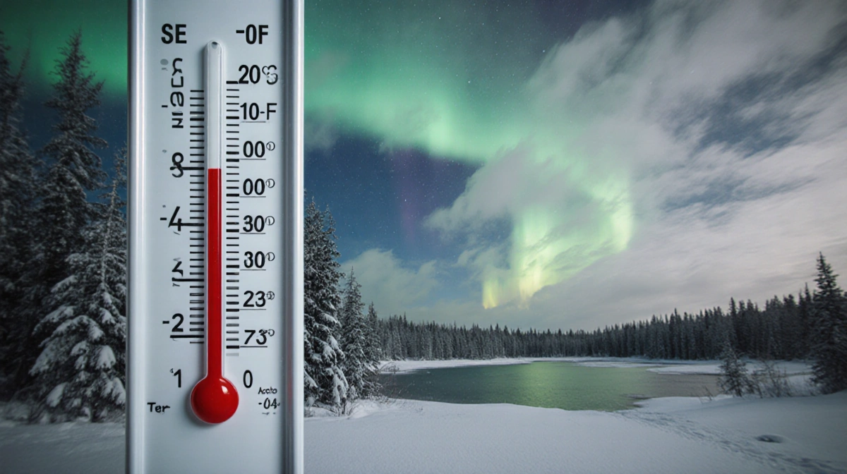
A brutal Arctic outbreak is tightening its grip on the United States, with 43 million Americans already under cold weather alerts and an even sharper blast forecast for the weekend.
Current Chill
As of Tuesday morning, alerts stretch from the Upper Midwest to the central Appalachians and into the Northeast, reaching as far south as central Florida.
Wind chills are running:
- 10-20°F below zero across the Upper Midwest and Great Lakes
- 5-10°F below zero in the interior Northeast and Ohio Valley
- Single digits along the Interstate 95 corridor, including Washington and New York City
High temperatures Tuesday are 15-25°F below average nationwide, and the chill will linger into Wednesday.
In the Philadelphia area, several districts opened schools late because of freezing temperatures.
Weekend Deep Freeze
While the current snap is not record-setting, a fresh surge of Arctic air arriving later this week could rewrite the record books.
Wind chills may reach:
- 40-50°F below zero across the northern Plains and Upper Midwest
- Record cold temperatures as far south as Texas
Ongoing Snow Threat
Tuesday morning, 15 million people remained under winter weather alerts across the Great Lakes.
In Michigan, whiteout conditions triggered a 100-car pileup near Grand Rapids. Multiple tractor-trailers spun off the road, shoving cars into embankments and causing numerous injuries.
Two snow zones are active:
- Lake-effect snow in traditional snow-belt regions
- A fast-moving clipper diving through the Upper Midwest
Expected snowfall:
- Minneapolis, Madison, Chicago: less than 1 inch
- Tug Hill Plateau, N.Y.: an additional 2-4 feet through Wednesday
Weekend Storm Setup
An expansive winter storm is taking shape for Friday through Sunday, threatening millions from the central Plains to the East Coast.
The system is forecast to deliver:
- Widespread heavy snow
- Sleet and freezing rain
- Potential for widespread power outages
- Life-threatening travel conditions
Forecasts show:
- Friday: Snowstorms across the Rockies and central Plains; ice in northern Texas and southern Arkansas
- Saturday: Snow for the central Plains, Mississippi and Tennessee valleys, and North Carolina; wintry mix from central Texas into the Southeast
- Sunday: Snow across the Midwest, Ohio Valley, and mid-Atlantic, possibly reaching the Northeast; wintry mix continuing in the Carolinas and Southeast
Exact rain, snow and ice boundaries remain uncertain, but confidence is growing for high-impact, disruptive accumulations and prolonged cold.
Pet Safety Reminder
Veterinary medicine expert Dr. Steven Marks urges owners to watch for winter hazards including antifreeze poisoning and frozen bodies of water.
Key Takeaways
- Immediate danger: Historic wind chills approaching -50°F for parts of the Plains
- Travel impacts: Multi-state storm Friday-Sunday may paralyze roads and airports
- Power risk: Heavy ice and snow could knock out electricity across a broad swath of the country
Erin McLaughlin contributed.