Southern California has been in the eye of a weather storm, with a roller‑coaster of temperatures, high surf, and record rainfall that has led to unprecedented water capture and widespread damage.
Temperature Trends and Winds
The region’s temperatures have been shifting from cooler mornings to warmer afternoons. NBC4 News broadcast a “High temperatures” forecast at 6 a.m. on Dec. 8, 2025, noting that temperatures would feel warmer than normal starting that week. Earlier, the network aired a “Warm Wednesday” forecast on Nov. 26, 2025, calling the day the warmest of the week before a cloudy Thanksgiving. A “Warmer temperatures” segment on Nov. 25, 2025, highlighted the return of Santa Ana winds. The Santa Ana winds were reported to break on Tuesday, but a “Santa Ana Winds” forecast on Dec. 2, 2025, warned that they would return Wednesday through Friday.
Coastal Surf Warnings
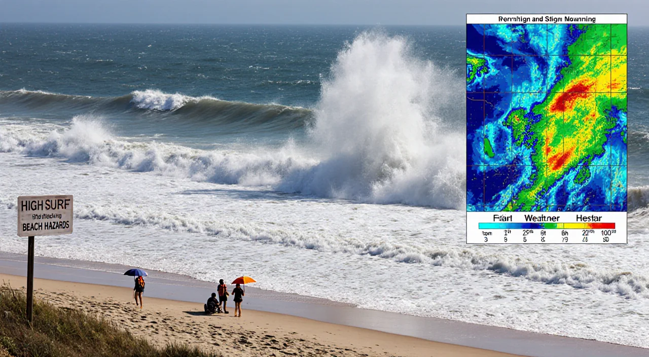
High surf is expected to continue into the weekend along the Southern California coast, stretching from Los Angeles to San Diego counties. A beach hazards statement is in effect, and the “High surf likely into the weekend” forecast was aired on Dec. 5, 2025. The forecast was issued by Belen De Leon, who also provided the “First weekend of December weather” outlook for Friday, Dec. 5, 2025.
Sierra Snowpack Update
Belen De Leon also delivered a “Sierra snowpack update” on Dec. 3, 2025, offering insights into the early‑season snowpack. The update came after a “First Alert Forecast: Sierra snowpack update” was broadcast on Dec. 3, 2025, providing residents with information on water storage for the coming months.
Record Rainfall and Water Capture
November brought several days of rain after a dry start to the water year. The “November rainfall” forecast on Nov. 24, 2025, described the month as the wettest November since 1967. A “First Alert Forecast: More rain on the way” aired on Nov. 20, 2025, warned of increasing clouds and spotty showers around noon. On Nov. 19, 2025, Shanna Mendiola presented a forecast titled “More rain to drench Southern California,” anticipating another system targeting the region.
Nearly 5.5 billion gallons of water were captured during this wettest November on record, according to the Los Angeles Department of Water and Power (LADWP). The LADWP statement noted that the city collects water through its stormwater system, residential rain barrels, cisterns, and expansive spreading grounds. The capture figure was highlighted in a news segment aired on Dec. 8, 2025.
The second wave of a mid‑November storm arrived earlier that week, bringing hours of rain on Friday and Saturday. The “See 5‑day rainfall totals for Los Angeles County” report detailed how rainfall that began with scattered showers on Friday intensified, triggering flash flood warnings across widespread parts of Los Angeles County. Flash flood warnings were first issued as the storm progressed.
A “First Alert Forecast: Second storm” was broadcast on Nov. 17, 2025, noting that rain would begin at different times depending on the area. The forecast emphasized the need for residents to stay alert to changing conditions.
Storm Damage and Aftermath
The heavy rainfall caused significant damage in several communities. Irvine‑based Tanaka Farm reported damage to its strawberries from the excess rain in a segment aired on Nov. 19, 2025. Long Beach maintenance crews were busy cleaning trash that washed up along the beaches’ 9‑mile stretch, as reported by Mekahlo Medina at 5 p.m. on Nov. 18, 2025. A large tree toppled over an apartment complex in Thousand Oaks, an incident covered by Tracey Leong at 7 p.m. on Nov. 17, 2025.
These events illustrate the widespread impact of the storm system on local infrastructure and agriculture, highlighting the need for continued monitoring and emergency response.
Key Takeaways
- Southern California experienced a mix of warm temperatures, Santa Ana winds, and high surf warnings as the region moved into December.
- November’s rainfall made it the wettest November since 1967, with LADWP capturing nearly 5.5 billion gallons of water.
- The storm system caused flash flood warnings, damage to strawberries at Tanaka Farm, trash piles in Long Beach, and a tree falling on a Thousand Oaks apartment complex.
In summary, the region’s weather pattern over the past month has been marked by extreme rainfall, significant water capture, and a range of storm‑related hazards that continue to affect communities across Southern California.