
At a Glance
- Flash flood warnings in Southern California were canceled early Friday morning.
- A flash flood watch remains for Los Angeles County and other areas.
- 2.6 inches of rain fell in Los Angeles County, driving road closures and evacuations.
- Why it matters: The heavy rain and flooding affect daily commutes and safety across the region.
A rapid shift in weather left Southern California soaked overnight, but authorities have lifted most warnings while keeping watches active as conditions remain hazardous.
Flood Warnings and Rainfall
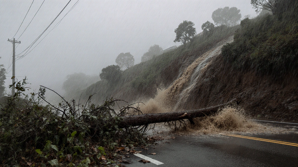
Los Angeles County received 2.59 inches of rain, the wettest since 3.24 inches in 1971. The storm, driven by an atmospheric river, left hillsides primed for slides and added moisture to already saturated ground. 80 mph winds accompanied the rain, increasing the risk of debris flows.
- Flash flood warnings were canceled by 6 a.m.
- A flood watch is in effect through Friday afternoon.
- Additional 2-5 inches are expected in the mountains; less than 2 inches elsewhere.
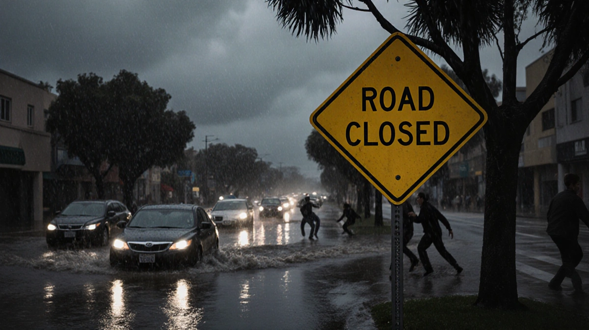
Road Closures and Evacuations
Three southbound lanes of the 5 Freeway in Santa Clarita were blocked, and flooding was reported on part of the 101 Freeway in Universal City. Evacuation warnings and orders remain in effect for the Palisades, Eaton, Agua Dulce, Lidia, Franklin, Bridge, Canyon, Owen, Hurst, and Kenneth burn areas.
Telemundo 52 meteorologist Marcos Mora stated:
> “After 8 p.m., we’ll start to see things really dry out.”
| Area | Rainfall |
|---|---|
| Los Angeles County | 2.59 inches |
| Mountains | 2-5 inches |
| Other areas | < 2 inches |
The storm’s impact continues to shape traffic and safety plans as residents prepare for potential slide and flooding hazards.
Key Takeaways
- Flash flood warnings lifted, but watches persist across Los Angeles County.
- Heavy rain of 2.59 inches caused significant road closures.
- Evacuation orders still active in multiple burn areas.
As temperatures cool into the lower 60s, residents should stay alert for updates on road conditions and potential slide risks.