
> At a Glance
> – High-wind warnings cover Antelope Valley, San Gabriels, 5-Freeway corridor until 8 p.m. Thursday
> – Separate warning for 14-Fwy corridor runs 6 a.m. Thursday – 1 p.m. Saturday with gusts to 70 mph
> – Santa Ana shift by Friday raises risk of downed trees and outages
> – Why it matters: Saturated soil from recent storms makes falling trees and power failures more likely
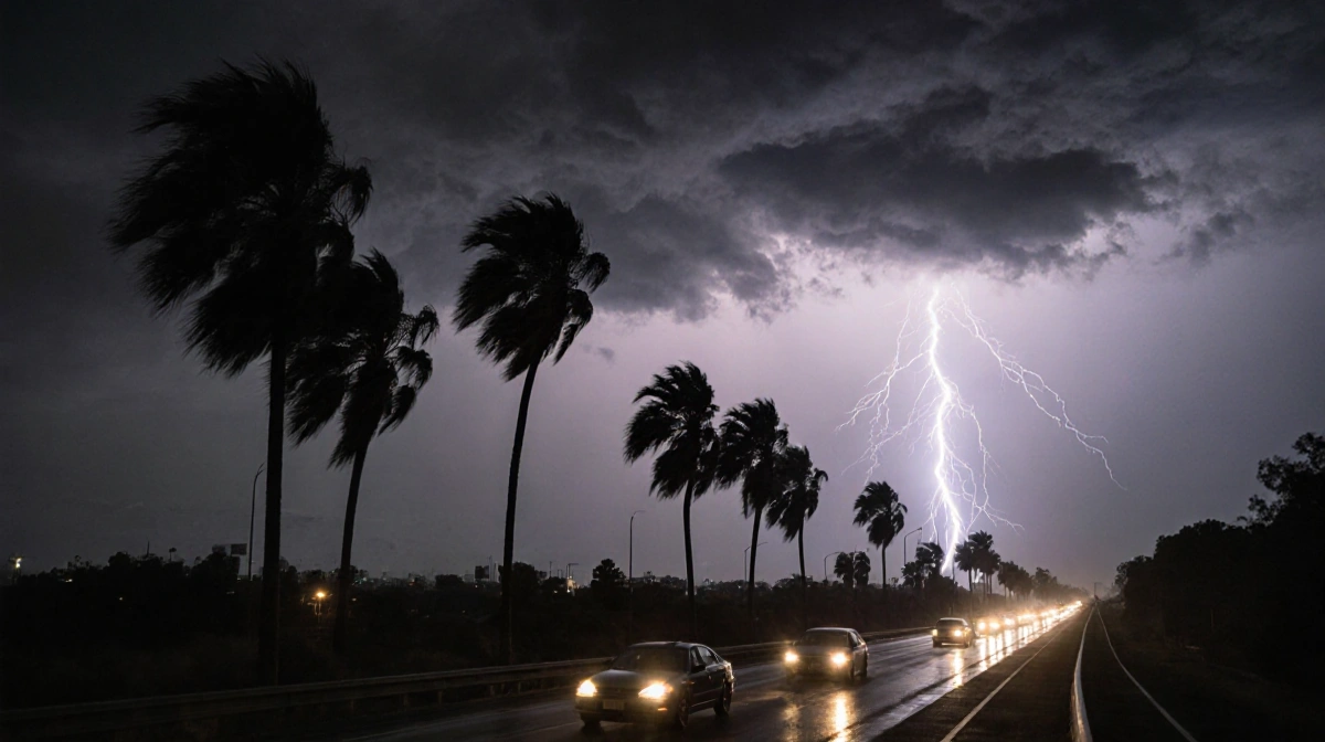
Los Angeles County is facing a multi-day wind siege that peaks Thursday and could topple trees and knock out power across the region.

Where the Warnings Are
The National Weather Service has split the county into zones:
High-Wind Warning Zones
- Antelope Valley, San Gabriel Mountains, 5-Fwy north of LA – until 8 p.m. Thursday
- Sustained 25-40 mph, gusts to 65 mph
- Santa Gabriel Mtns & 14-Fwy corridor – 6 a.m. Thursday to 1 p.m. Saturday
- Gusts up to 70 mph
Wind Advisory Zones
- Santa Clarita Valley, Malibu Coast, Calabasas, Agoura Hills, E. Santa Monica Mtns Rec Area, W. San Fernando Valley – 6 a.m. Thursday – 1 p.m. Saturday
- 20-30 mph, gusts 50 mph
- LA County beaches, Palos Verdes Hills, E. San Fernando Valley, San Gabriel Valley, downtown LA – 6 a.m. – 8 p.m. Thursday
- Gusts to 40 mph
What Changes Friday
Winds swing from northwest to northeast, ushering in a Santa Ana event that could last into the weekend.
Recent storms left soil water-logged, so even moderate gusts may uproot trees and snap power lines.
Mountain Travel Alert
Light snow is possible over Tejon Pass on Interstate 5 north of LA; drivers should plan for slick conditions.
Key Takeaways
- Two distinct warnings cover different parts of the county with separate end times
- Peak gusts of 70 mph are forecast for the 14-Fwy corridor
- Santa Ana winds return Friday, increasing fire-weather concerns
- Downed trees and outages are the primary threats through Saturday
Gusty winds will ease Saturday afternoon, but until then secure outdoor items and expect delays on mountain routes.