
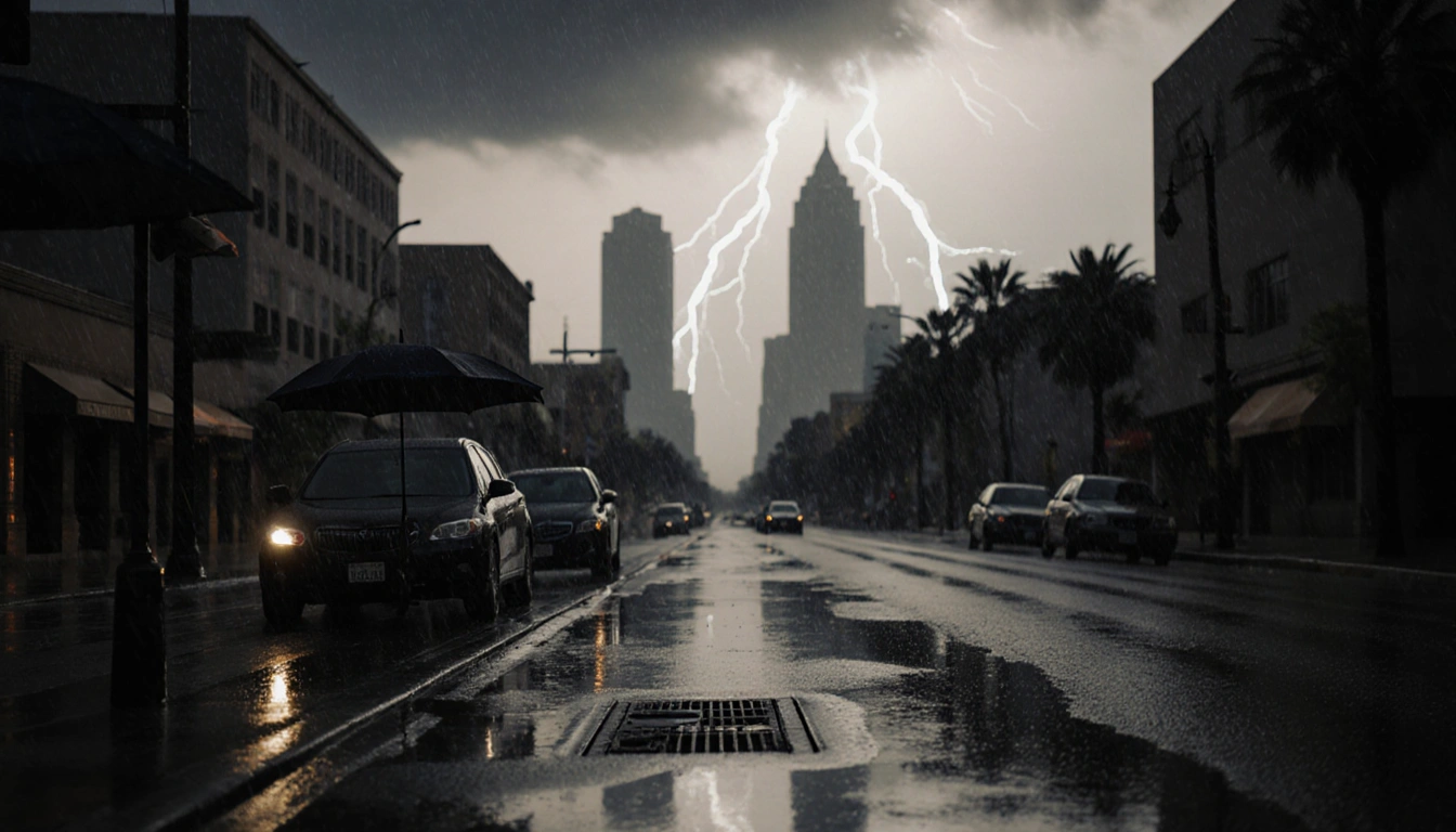
A sudden surge of rain across Southern California has left authorities on high alert, with flash flood watches still in effect as of Friday, Dec. 26, 2025.
Storm Overview
A powerful atmospheric river brought steady overnight rain to the region, soaking already saturated hillsides and raising concerns about potential slides and flooding. Early Friday morning saw all flash flood warnings in Southern California cancelled, but watches and advisories remained for Los Angeles County and surrounding areas.
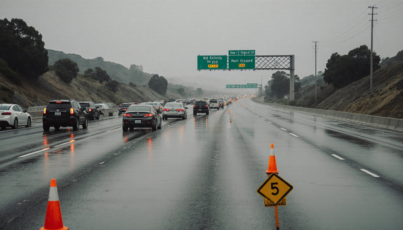
Road Impact
The morning’s heavy precipitation caused significant traffic disruptions. Three southbound lanes on the 5 Freeway in Santa Clarita were blocked by flooding, and a section of the 101 Freeway in Universal City also reported water buildup.
Evacuation Alerts
Earlier this week, evacuation warnings and orders were issued ahead of the storm. Some expired on Thursday, yet warnings remain active for the Palisades and Eaton burn areas. Residents near the Agua Dulce, Lidia, Franklin, Bridge, Canyon, Owen, Hurst, and Kenneth burn areas also continue to receive extended evacuation notices.
Rainfall Highlights
Downtown Los Angeles recorded a total of 2.59 inches of rain through noon Thursday, making the Christmas Eve-Christmas Day holiday period the wettest since 3.24 inches in 1971. The heavy rainfall was accompanied by powerful winds that reached 80 mph in certain spots.
Wind Impact
Strong winds are forecast for inland communities, adding to the risk of damage and complicating evacuation efforts. The 80-mph gusts observed during the storm underscore the severity of the weather event.
Temperature Outlook
Most areas are expected to see temperatures in the lower 60s and upper 50s. Despite the cooler temperatures, the combination of rain and wind continues to pose hazards.
Forecast for the Coming Days
Scattered rain is expected to move east out of Los Angeles County in the afternoon, bringing wet conditions to San Bernardino and Riverside counties, which also remain under flood watches. Rainfall amounts are projected to be 2 to 5 inches in the mountains, while other areas should receive less than 2 inches unless isolated thunderstorms develop.
Flash Flood Watch Status
A flood watch was in effect for widespread parts of Los Angeles County through Friday afternoon. The watch remains active for parts of San Bernardino and Riverside counties as well.
Key Takeaways
- Flash flood watches still active across Southern California after heavy storm.
- Major freeway lanes closed due to flooding, affecting traffic on the 5 and 101 Freeways.
- 2.59 inches of rain in downtown Los Angeles made the holiday period the wettest since 1971.
Closing
Residents are urged to stay informed through local weather updates and to heed any evacuation orders. The combination of heavy rain, strong winds, and saturated terrain keeps the region in a state of heightened alert as the forecast calls for continued wet conditions.