
At a Glance
- Southern California continues rainy weather through Monday.
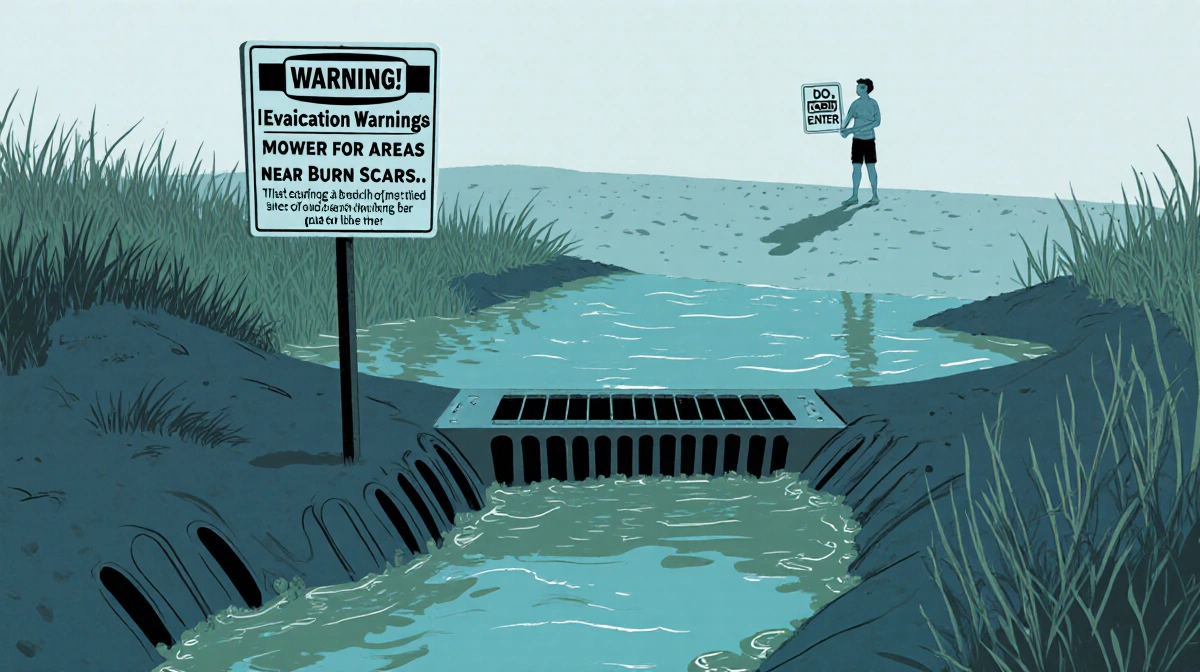
- Evacuation warnings remain for burn-scar neighborhoods due to mud and debris flow risks.
- Beach advisories and road closures keep residents cautious.
- Why it matters: Ongoing storms threaten safety, transportation, and water quality across the region.
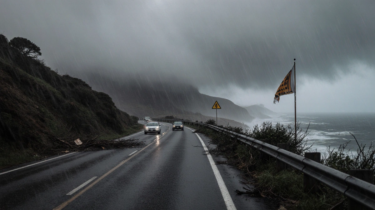
A string of heavy rain and high-elevation snow has kept Southern California drenched into Monday. Officials have kept evacuation warnings active for burn-scar neighborhoods and closed roads and beaches to protect residents. The weather is expected to turn dry by Tuesday, but the risk of mudslides and debris flows remains high.
Weather Outlook
The National Weather Service forecasts continued rainfall through Monday, with a gradual shift to drier skies by Tuesday.
Sunday brought widespread rain across the Southland, accompanied by high-elevation snow and a chance of thunderstorms in the evening.
- High-elevation snow continues in mountainous areas.
- Evening thunderstorms possible across the region.
- Evacuation warnings still in effect for burn-scar neighborhoods.
Evacuation and Safety Advisories
Evacuation warnings remain for neighborhoods near recent burn scars, as saturated soils keep mud and debris flow hazards high.
The Los Angeles County Department of Public Health has advised beachgoers to avoid all water contact near storm drains, creeks, and rivers until at least 4 p.m. Monday, citing potentially higher bacterial levels.
Inner Cabrillo Beach in San Pedro remains closed after a Christmas Day sewage flow.
Road and Beach Closures
Caltrans has indefinitely closed a 3.6-mile stretch of Topanga Canyon Boulevard between Pacific Coast Highway and Grand View Drive, pending improved weather and road conditions.
The Palisades Fire recovery work zone on PCH from Sunset Boulevard to Carbon Beach Terrace will stay open, with crews on standby to respond to any storm impacts.
Emergency Preparedness
Gov. Gavin Newsom directed the California Governor’s Office of Emergency Services to pre-position fire and rescue resources in flood-prone areas, especially burn-scar zones.
Mayor Karen Bass activated the city’s Emergency Operations Center and increased LAFD staffing for swift-water rescues and debris-flow response.
The LA Department of Water and Power and LA Sanitation are on standby to address power outages and manage wastewater flows.
The LA County Board of Supervisors ratified a local emergency proclamation earlier in the week.
Temperature Forecast
Temperatures are expected to stay cool, with highs in the 60s and lows mostly in the 40s and lower 50s.
| Metric | Range |
|---|---|
| Highs | 60s |
| Lows | 40s-lower 50s |
These conditions underscore the importance of staying informed and following official guidance during the storm season.
Key Takeaways
- Rain will persist through Monday, with a shift to drier weather on Tuesday.
- Evacuation warnings and road closures remain active due to mudslide and debris-flow risks.
- Public health and emergency services are on high alert, with beach advisories and infrastructure monitoring in place.
Residents should heed the warnings and prepare for potential disruptions as the storm system moves through Southern California.