

At a Glance
- A winter storm will sweep from the Plains to the East Coast Jan. 23-26, affecting 175 million Americans
- Frigid sub-zero temperatures driven by a polar vortex will reach two-thirds of the country by Jan. 25
- Snow totals could hit two feet in the Appalachians and up to 18 inches across parts of Texas, Oklahoma, Arkansas, Mississippi, Alabama and Georgia
- Why it matters: Power outages, dangerous wind chills as low as -50°F, and burst pipes are expected across multiple major metro areas
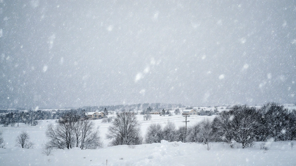
More than half of the U.S. population is bracing for a major winter storm that will bring heavy snow, significant icing and life-threatening cold beginning Friday, Jan. 23 and continuing through Monday, Jan. 26.
Storm Track and Timeline
The Arctic cold front will push frigid air south and east, spawning a sprawling storm system. Snow is forecast to begin in the South on Friday and reach the Southeast by Saturday, Jan. 24.
Key timing:
- Friday Jan. 23: Snow starts in Texas and the southern Plains
- Saturday Jan. 24: Winter weather spreads across the Southeast
- Sunday Jan. 25: Two-thirds of the country shivers in sub-zero or single-digit temperatures
- Monday Jan. 26: Final snow totals depend on the storm’s exact northern track
Snowfall Forecast
Forecasts from Fox Weather show a wide swath of heavy snow:
- Texas, Oklahoma, Arkansas, Mississippi, Alabama and Georgia: up to 12 inches locally, with some spots topping 18 inches
- Nashville through western North Carolina: highest totals along this corridor
- Appalachians: up to 2 feet of accumulation possible
- Central Virginia, Maryland and southern New Jersey: best chance for significant East Coast snow
The exact northern edge of the storm remains uncertain, meaning mid-Atlantic and Northeast snow totals could change based on a relatively small northward or southward shift.
Extreme Cold and Wind Chill
A polar vortex dipping into the Lower 48 will lock in dangerously cold air. The National Weather Service warns of:
- Wind chills plunging to -50°F across the Northern Plains
- Sub-zero highs across the central U.S.
- Bitter temperatures lasting through the end of January
“Gusty winds accompanying the arctic blast will lead to dangerous wind chills,” the NWS short-range forecast discussion states.
Impacts on Power and Infrastructure
AccuWeather Chief Meteorologist Jonathan Porter warns the combination of ice, snow and extreme cold could leave:
- Hundreds of thousands without electricity and heat for days
- Burst water pipes as temperatures plummet
- Treacherous roads across more than a dozen states from Texas to Delaware
Major metro areas in the storm’s path include:
- Dallas, Austin, Oklahoma City
- Nashville, Atlanta, Charlotte
- Washington, D.C., Baltimore, Philadelphia
- New York City, Boston
Current Alerts
As of Wednesday, Jan. 21:
- Extreme cold watches, warnings and advisories stretch across parts of the Northern Plains and Upper Midwest
- Winter storm watches cover central New Mexico to central Tennessee and northern Georgia, including large portions of Texas, Oklahoma and Arkansas
The National Weather Service urges residents to prepare emergency kits, charge devices and avoid unnecessary travel once the storm arrives.
Key Takeaways
The impending storm will:
- Affect 175 million Americans with snow, ice or extreme cold
- Bring the potential for two-foot snow totals in the Appalachians and widespread foot-plus amounts from Texas to Georgia
- Create life-threatening wind chills as low as -50°F in the Northern Plains
- Threaten prolonged power outages and burst pipes across multiple states
- Impact travel and daily life in major cities from Dallas to New York
Forecasters stress that small shifts in the storm’s track could significantly change snow totals, especially along the I-95 corridor. Residents in the storm’s path should monitor updates and complete preparations before Friday’s arrival of the Arctic front.